
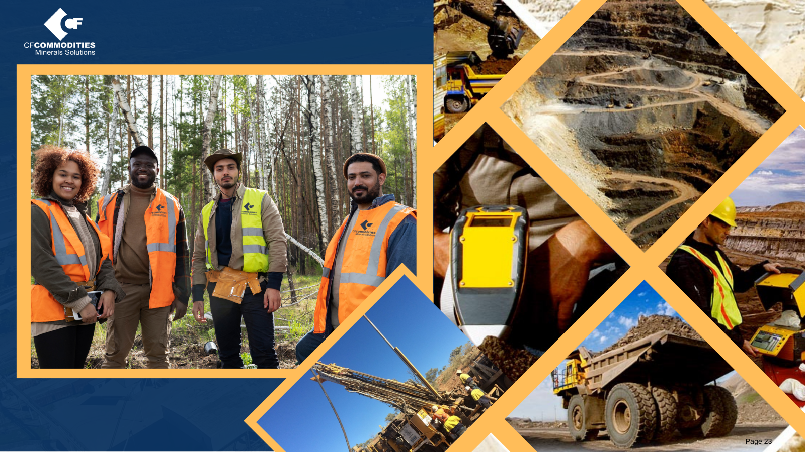
Exploration creates the evidence base for every decision that follows. Geological mapping, sampling, geophysics and drilling are most valuable when they are planned as one connected information system rather than isolated technical activities.
Structured field data improves interpretation and makes later reviews more efficient. Coordinates, photographs, sample identifiers, analytical results and quality controls should remain linked from collection through modelling.
Responsible programmes also consider land access, water, biodiversity and community engagement at the earliest stage. These factors are not separate from technical success; they shape whether a project can advance credibly.
Connect field observations to one data model
Protect sample identity and QA/QC
Consider environmental and social context early